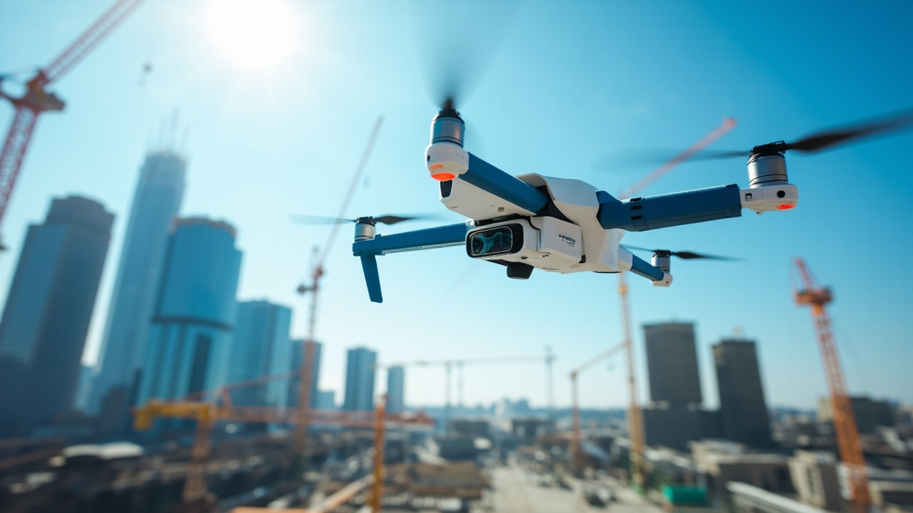
Precision LiDAR Drone Surveys
Transform your surveying projects with cutting-edge LiDAR technology. Get accurate 3D mapping, terrain modeling, and infrastructure analysis.
500+
Projects Completed
98%
Accuracy Rate
24hr
Turnaround Time
50+
Expert Team
Our Services
Comprehensive LiDAR drone survey solutions for various industries
Topographic Mapping
High-precision terrain mapping for construction, mining, and land development projects with centimeter-level accuracy.
Learn More →Infrastructure Inspection
Detailed inspection of bridges, power lines, buildings, and other infrastructure using advanced LiDAR sensors.
Learn More →Forestry & Agriculture
Vegetation analysis, canopy height modeling, and crop monitoring for sustainable resource management.
Learn More →3D Modeling
Create detailed 3D models of buildings, landscapes, and structures for BIM integration and visualization.
Learn More →Construction Monitoring
Track construction progress, volume calculations, and site monitoring with regular LiDAR surveys.
Learn More →Flood Risk Assessment
Comprehensive flood modeling, risk assessment, and mitigation planning using high-resolution topographic data for effective disaster management.
Learn More →Industries & Domains
RealStatify delivers LiDAR-driven intelligence to every sector that needs rapid, precise spatial data—from transportation and urban infrastructure to natural resource management and disaster resilience.
Transportation & Logistics
Optimize corridors, yards, and intermodal hubs with centimeter-grade 3D data.
- Highway alignment & widening studies
- Airport runway obstacle surveys
- Port and inland waterways mapping
Indian Railways & Kavach
Support national rail modernization and the Kavach safety initiative with precise LiDAR data.
- Track geometry, ballast profiling, and rail corridor clearance
- Overhead equipment, signaling, and station asset digitization
- Digital twins to feed Kavach collision-avoidance decision engines
Urban Planning & Smart Cities
Accelerate city-scale planning with accurate base maps and change detection.
- Development control & zoning validation
- Utility corridor and streetscape planning
- Digital twins for smart city dashboards
Construction & BIM
Capture as-built conditions and monitor progress with laser precision.
- Earthwork volume calculations
- Structural deviation and clash detection
- Progress validation for EPC stakeholders
Energy & Utilities
Safeguard linear assets and generation facilities with LiDAR insights.
- Transmission line sag & vegetation analysis
- Solar and wind farm micro-siting
- Hydropower reservoir bathymetry
Mining & Resources
Deliver rapid mine planning and compliance documentation.
- Pit optimization & haul road design
- Stockpile volume reconciliation
- Waste dump stability monitoring
Oil, Gas & Pipeline Networks
Protect critical energy corridors with continuous LiDAR oversight.
- Right-of-way encroachment detection
- Pipeline route planning & slope stability
- Asset integrity management and leak-prone zone mapping
Agriculture & Forestry
Boost yields and conservation with precise terrain and canopy data.
- Precision agriculture prescription mapping
- Forest biomass and carbon stock estimation
- Watershed and irrigation planning
Environmental & Climate Programs
Monitor ecosystems and climate adaptation initiatives with high fidelity.
- Coastal erosion and shoreline change studies
- Glacier and snowpack monitoring
- Carbon offset and reforestation audits
Disaster Management & Resilience
Equip emergency teams with real-time terrain intelligence.
- Flood modeling & evacuation route planning
- Post-disaster damage assessment
- Landslide susceptibility mapping
Coastal & Marine Infrastructure
Blend LiDAR and bathymetric data for resilient waterfront assets.
- Port expansion feasibility studies
- Sea wall & levee inspection
- Offshore structure positioning
Telecom & Digital Networks
Accelerate 5G and fiber rollouts with precise propagation models.
- Tower placement and line-of-sight analysis
- Fiber trench optimization
- Rural connectivity feasibility studies
Defense & Border Security
Enhance situational awareness with strategic topographic data.
- Border surveillance and patrol planning
- Forward operating base siting
- Mission rehearsal using digital twins
Heritage & Archaeology
Preserve cultural assets with non-intrusive LiDAR documentation.
- Subsurface structure detection
- Heritage site digital archiving
- Visitor infrastructure planning
Focused Impact for Indian Railways & Kavach
RealStatify partners with public and private rail agencies to build digital twins that feed the Kavach Automatic Train Protection system, improving safety, punctuality, and asset longevity across the national network.
Railway Engineering & Operations
- Track geometry calibration and gradient validation for new alignments
- Bridge, tunnel, and culvert clearance modeling for multi-gauge networks
- Yard digitization for capacity planning, electrification, and redevelopment
- Condition assessment of embankments, ballast, and drainage for predictive maintenance
Kavach Safety Ecosystem
- Precise track and signal georeferencing for onboard Kavach units
- Hazard inventory (rockfall zones, trespass hotspots) for proactive mitigation
- Real-time progress monitoring of Kavach deployment across corridors
- Simulation-ready digital twins for testing collision-avoidance scenarios
About RealStatify
RealStatify Private Limited is a pioneering force in LiDAR drone survey services, established by a team of surveying professionals with over 15 years of combined experience in geospatial technologies. We bridge the gap between traditional surveying methods and cutting-edge aerial data acquisition.
Our mission is to democratize access to high-precision spatial data, enabling faster decision-making and reducing project costs across industries. From infrastructure giants to environmental agencies, we serve clients who demand accuracy, reliability, and rapid turnaround.
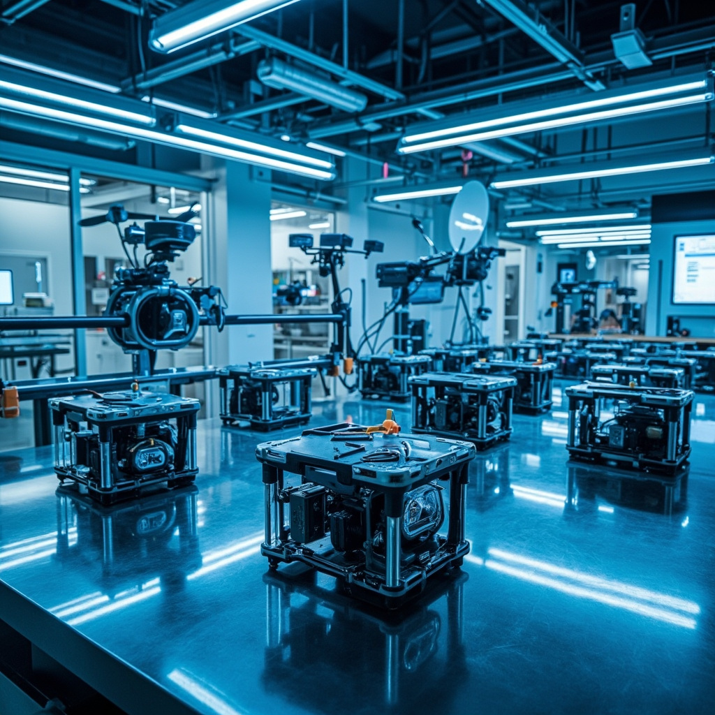
Our Technology Stack
Leveraging the best-in-class hardware and software for unmatched precision
Riegl VUX-1UAV LiDAR
Survey-grade sensor with 550kHz pulse rate, capturing up to 1.5 million points per second with 10mm accuracy
Trimble APX-20 UAV
GNSS-Inertial OEM solution providing centimeter-level positioning without ground control points
TerraSolid Suite
Industry-standard software for point cloud classification, DTM generation, and feature extraction
AI-Powered Analytics
Custom ML models for automatic powerline classification, vegetation encroachment, and change detection
DJI Matrice 300 RTK
Enterprise drone platform with 55-minute flight time and IP45 weather resistance
AWS Cloud Infrastructure
Scalable processing with 100TB+ storage capacity and parallel computing capabilities
Recent Projects
Showcasing our expertise across diverse industries and challenging terrains
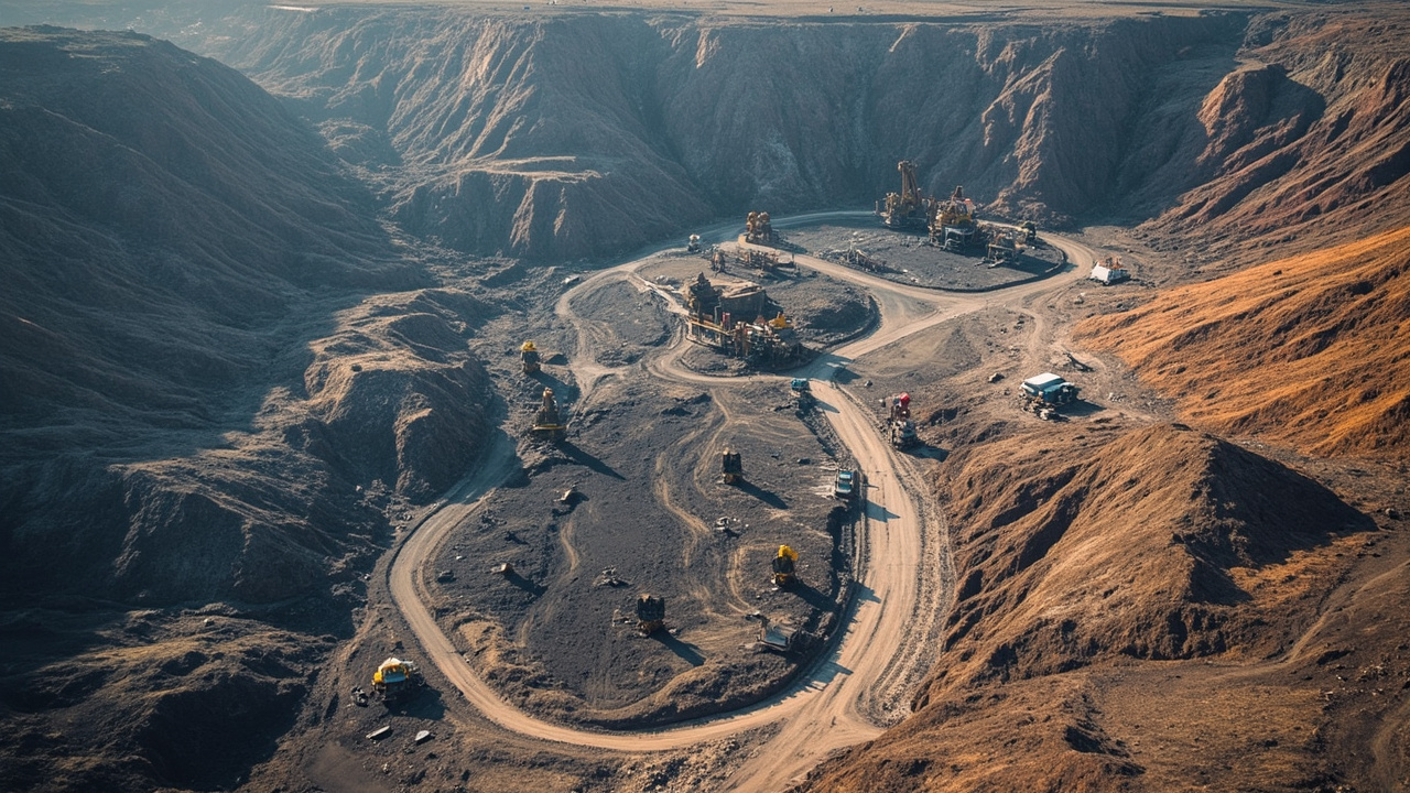
Jharia Coal Mine Survey
500 hectare volumetric analysis for India's largest coal producer

Bengaluru Smart City Mapping
3D city model for urban planning and infrastructure development
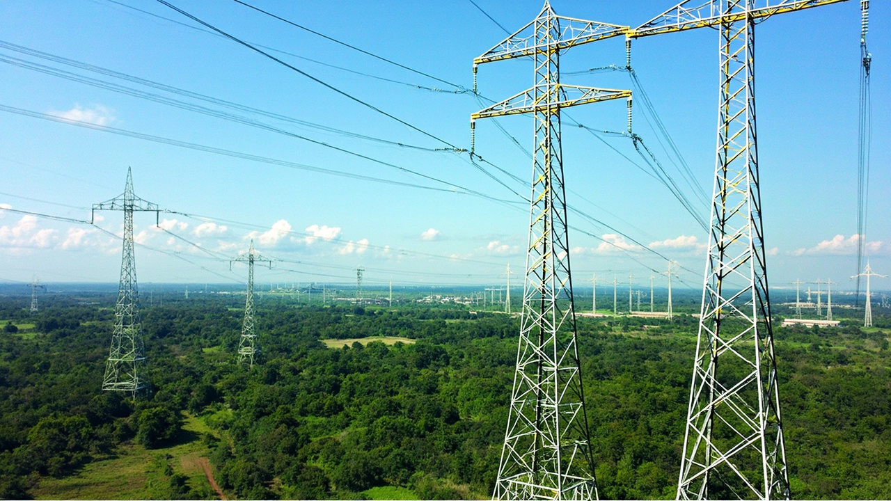
PGCIL Transmission Corridor
200km power line inspection and vegetation management

Mumbai-Ahmedabad HSR Alignment
High-speed rail corridor topographic survey and design validation
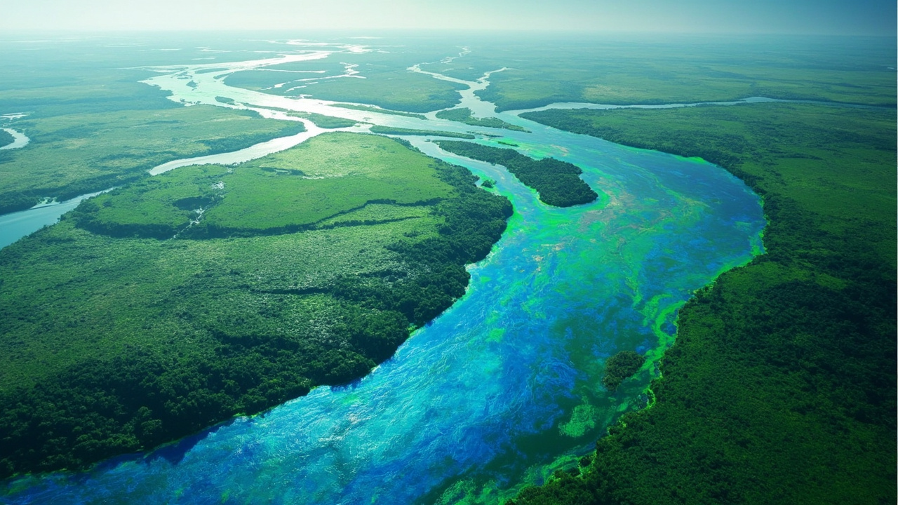
Krishna River Flood Mapping
Flood risk assessment and mitigation planning for 5 districts

ONGC Pipeline Network Survey
Right-of-way monitoring and encroachment detection
Ready to Transform Your Surveying?
Get accurate, reliable LiDAR data for your next project with our advanced drone survey technology
Start Your ProjectGet In Touch
Let's discuss your LiDAR survey requirements
Office
123 Tech Park, Electronic City
Bangalore, Karnataka 560100
Phone
+91 80 1234 5678
+91 98765 43210
info@realstatify.com
sales@realstatify.com