Forestry & Agriculture
Advanced vegetation analysis, canopy height modeling, and crop monitoring solutions using LiDAR drone technology for sustainable resource management and precision agriculture.
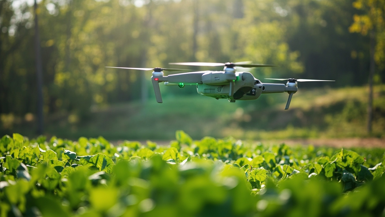
Service Overview
Our forestry and agriculture service harnesses the power of LiDAR drone technology to provide detailed vegetation analysis and canopy structure mapping. We support sustainable forest management, precision agriculture, and environmental monitoring with accurate, data-driven insights that help optimize resource utilization and conservation efforts.
Vegetation Analysis
Comprehensive vegetation mapping and analysis to assess forest health, biodiversity, and ecosystem dynamics.
Canopy Height Modeling
Precise canopy height measurements and 3D structure modeling for forest inventory and biomass estimation.
Crop Monitoring
Advanced crop health monitoring, yield prediction, and precision agriculture support for optimized farming practices.
Applications
Forest Management
Sustainable forest management planning, timber inventory assessment, and biodiversity monitoring for responsible forestry practices.
Precision Agriculture
Variable rate application mapping, crop stress detection, and yield optimization for modern farming operations.
Environmental Monitoring
Carbon stock estimation, habitat mapping, and ecosystem health assessment for conservation initiatives.
Wildfire Risk Assessment
Fuel load mapping, fire behavior modeling, and risk assessment for wildfire prevention and management.
Our Assessment Process
Project Planning
Define survey objectives, determine optimal flight patterns, and establish data collection parameters for vegetation analysis.
LiDAR Data Acquisition
Conduct systematic drone surveys to capture high-density point clouds of vegetation structure and terrain.
Vegetation Classification
Process point cloud data to classify vegetation types, measure canopy characteristics, and extract structural metrics.
Analysis & Reporting
Generate comprehensive reports with vegetation metrics, canopy models, and management recommendations.
Deliverables
Canopy Height Models
Detailed 3D models showing canopy structure, height variations, and vegetation density across the survey area
Vegetation Metrics
Quantitative analysis including biomass estimates, leaf area index, and structural diversity assessments
Classification Maps
Detailed vegetation classification maps showing species distribution, age classes, and health status
Management Reports
Comprehensive reports with actionable insights for forest management, agricultural planning, and conservation
Key Benefits
Sustainable Management
Support sustainable resource management practices with accurate data for informed decision-making and planning.
Increased Efficiency
Optimize resource allocation and reduce operational costs through precision mapping and monitoring.
Environmental Protection
Monitor ecosystem health and support conservation efforts with detailed vegetation and habitat analysis.
Data-Driven Insights
Make informed decisions based on accurate measurements and comprehensive vegetation analysis.
Optimize Your Forestry & Agriculture Operations
Contact our team to discuss how LiDAR technology can enhance your vegetation management and crop monitoring capabilities.
Start Your Project